Elevation, latitude...
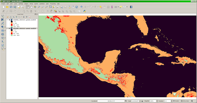
Here's a question that seems perfect for GIS - in fact, it's probably trivial for a skilled GIS person. I have a farm in Hawaii, at approximately 20 degrees latitude, 750 meters elevation, and 3-4 meters of rainfall annually. Let's say I'd like to visit farmers elsewhere in the world - say, India or Central America - which have similar conditions. Where are they? I'd guess this would involve making three areas, those with similar elevation, similar latitude, and similar rainfall, then finding their intersection. The first decision, technically, would seem to be answering this question with rasters, or vectors. Both are technically possible, and I know that the elevation data is going to start as rasters, but I believe that GIS software more commonly does "intersection" with polygons, so I'll try that. Part 1: Elevation I grabbed some common free data ( GMTED2010 ) from the USGS, loaded into QGIS, and used Layers: Properties: Band Rendering ...